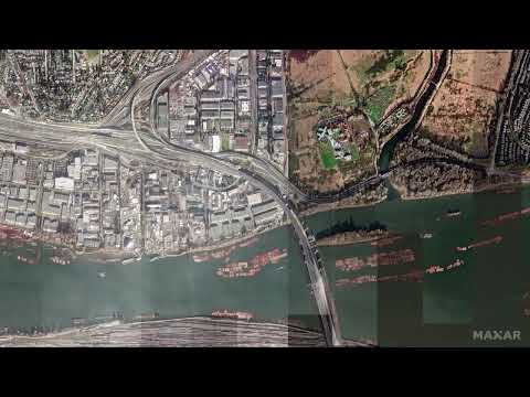
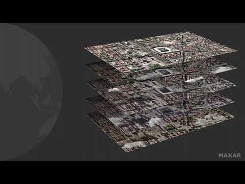
From Sensor to Decision

June 23, 2021

From the board room to the battlefield, from the command center to the climate research lab, decision-makers seek near real-time information about Earth at scale. From sensor to decision, Maxar produces actionable insight from satellite imagery in minutes.

Previous video
Maxar Analysis-Ready Data (ARD) Overview

Skip straight to analysis with Maxar’s Analysis-Ready Data (ARD). ARD is pre-processed time-series stacks o...

Next video
I Can't Believe It's Not Aerial: Innovations in Satellite Imagery

Advances in Earth Observation satellites and image processing technology have expanded the utility of satel...