I Can't Believe It's Not Aerial: Innovations in Satellite Imagery
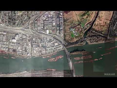
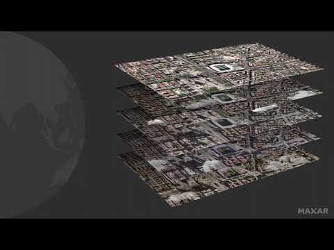
Advances in Earth Observation satellites and image processing technology have expanded the utility of satellite imagery, making it a viable solution for many planning and mapping needs that were once not considered feasible with satellite imagery. The many advantages of satellite imagery, along with these enhancements, provide a unique opportunity to augment aerial programs and keep up with change, anywhere from local to global scale and from urban to remote, hard-to-reach areas. In this webinar you will learn: -The latest technological advancements that increase the usability of satellite imagery, including both resolution and accuracy. -Specific areas where satellite imagery can help mapping, monitoring, and disaster response needs. -Examples of 15 cm high-definition satellite imagery for the most common applications.