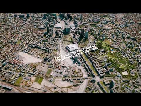
One Seamless Environment
Big data, patented algorithms, and the world's largest commercial satellite imagery archive combine for one seamless environment for training and operational missions. Maxar provides real data depicting real places. The Globe in 3D makes your world geospecific. (Some databases used in this video were created using 0.3m-resolution imagery.)