The Globe In 3D

July 2, 2021

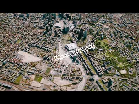
With a continuous feed of the highest quality commercial satellite imagery and our patented 3D technology, only Maxar can build the Globe in 3D—the highest resolution, most accurate representation of the entire face of Earth—allowing you and your team to visualize, analyze, plan and act with confidence, in fully immersive 3D.

Previous Video
#TiltTheMap: New York City, U.S.

Maxar’s #TiltTheMap series explores New York City, U.S. From our highest quality commercial satellite image...

Next Video
#TiltTheMap: Santiago, Chile

Maxar’s #TiltTheMap series explores Santiago, Chile. Our realistic, immersive 3D model—built from commercia...