The Future of Maps
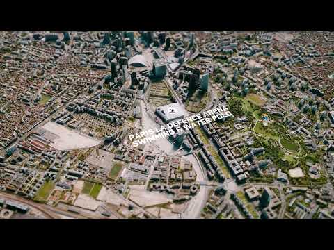
The future of maps: Maxar is taking maps to the next level, a revolution in cartography. Maxar's 3D models provide unparalleled detail and accuracy and superior situational awareness. Based on our high-resolution commercial satellite imagery, our 3D models encompass the world over, including denied areas. What's more: Our data is designed to integrate with your systems. When the world changes, your maps should, too.